Landfill Operation & Management Solution
Our ESRI ArcGIS Solution offers a wide array of assets specific to landfill management.
Landfill Operation Services Includes
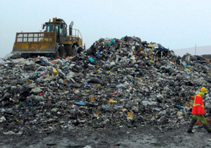
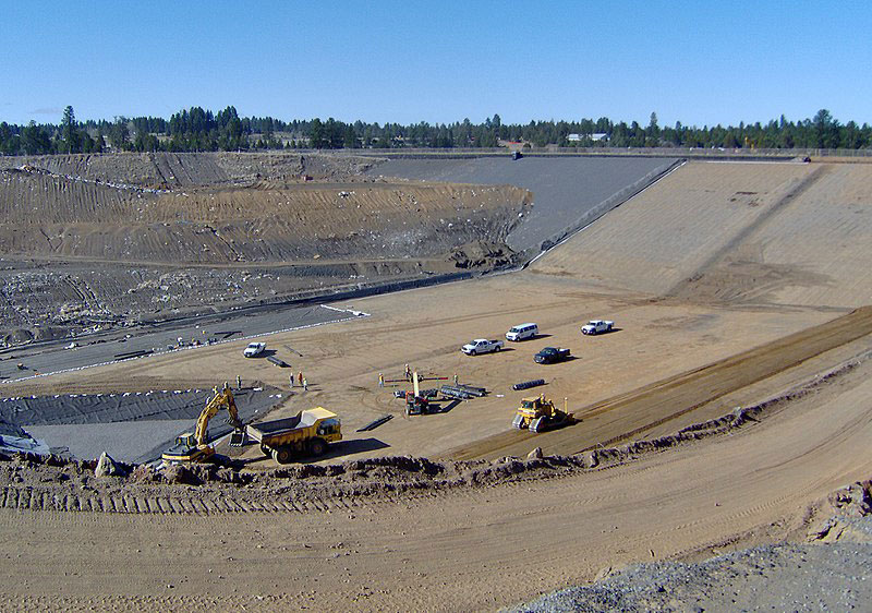
Plan your infrastructure with accurate, high-quality data directly from the field. Location intelligence, combined with a powerful easy-access dashboard creates a winning duo for sustainable development.
Respond to high risk and emergency scenarios with confidence. Reduce emergency response times by assessing distribution of assets, pipeline connectivity, and hazards at the click of a button .
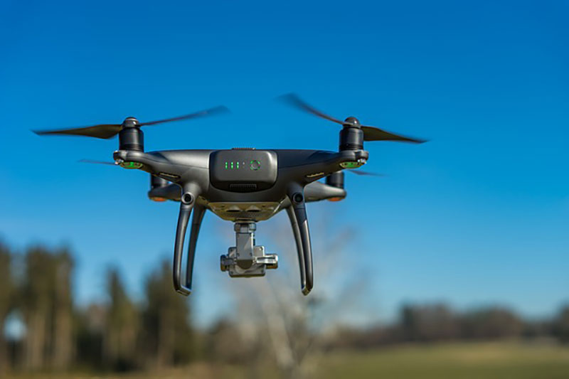
Leverage orthometric drone imagery to develop elevation models and real-time status of your project site. Cross-reference your record drawings with precision tools and updated imagery.
Use 3D models to calculate volume and tonnage at each of your landfills.
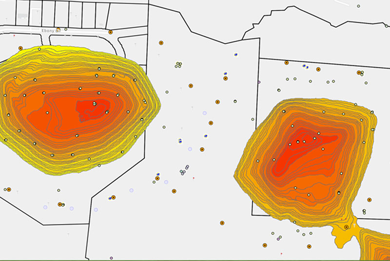
Promote environmental sustainability and compliance through your custom dashboards. Set alerts for overdue inspections, high asset age, and other limits.
Monitor your on-site and off-site contaminants through digitized laboratory analysis results and automated alerts for chemical exceedance. Track your historical data in a geo-referenced format.
Use handheld optical gas imaging devices to manage methane leaks, and pipe condition. LOMMS creates a perfect center for managing all your landfill data-driven needs. Track monitoring-wells, landfill gas wells, and other recurring data points to ensure an environmentally sustainable, and compliant system.
Texian Geospatial provides a full-spectrum service whether you are updating existing systems to modern solutions or starting from scratch. Our field technicians and drone pilots will fly out state-of-the-art drones, compile your data and imagery, and create a customized system for your needs.
